IU303. TELŠIAI DISTRICT

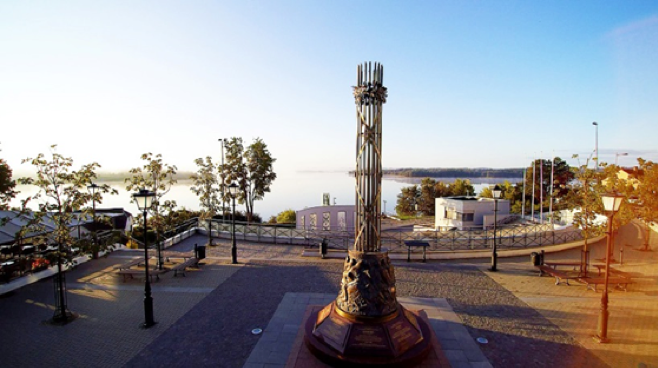
LOCATION Telšiai is situated in Samogitia region, on the shores of Lake Mastis. An important highway passing through Telšiai is the route A11 highway from Šiauliai to Palanga. Trains going on the routes Vilnius–Klaipėda and Radviliškis–Klaipėda pass through the Telšiai railway station. Telšiai can also be reached by bus from many Lithuanian cities and smaller […]

Continue Reading

IU302. MANORS IN KRETINGA AND PLUNGĖ

LOCATION Kretinga and Plungė towns are connected by highway A11 and have good railway and bus connection with other cities in Lithuania. Plungė Manor park, photo  source: wikimedia commons. SCENIC CHARACTER Kretinga is one of the oldest settlements in Lithuania, also called the Franciscan capital due to 5 established monasteries here. Kretinga district is famous not […]

Continue Reading

IU301. PALANGA RESORT

LOCATION Palanga is a city along the Baltic Sea, 25 km north of Klaipėda.Palanga has International Airport, 7km from the center, and highway road A11 connecting cities to Kretinga, Plungė, Telšiai and others.      photo source:  SCENIC CHARACTER Palanga, the summer capital of Lithuania is the most popular beach resort and rehabilitation centre due […]

Continue Reading

IU300. PORT OF KLAIPĖDA – DUTCHMAN’S CAP

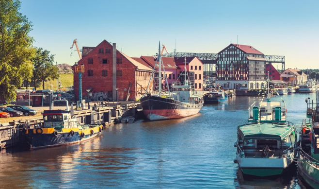
LOCATION Klaipeda is the third largest city in Lithuania, in the Curonian Lagoon and in the Baltic Sea.  The main transport links with Klaipeda are railway station, bus station, and seaport.     photo source:  SCENIC CHARACTER Klaipėda, often called as the country’s sea gates, is the third biggest and oldest city in Lithuania, founded […]

Continue Reading

IU299. SÖLVESBORG BAY

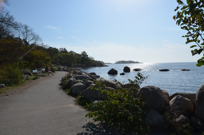
LOCATION Sölvesborg is a municipality in Blekinge County in southern Sweden, and it borders to Bromölla, Olofström and Karlshamn municipalities. The city has good transport links by railroad and motorway connecting with other cities in Sweden.       photo source:  SCENIC CHARACTER Sölvesborg (A) is a charming medieval city, proud of fantastic white sandy […]

Continue Reading

IU298. KARLSHAMN

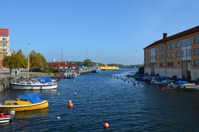
LOCATION The city of southeastern Sweden, in the province of Blekinge, Karlshamn is located on the shores of the Baltic Sea and on the Mieon River. Karlshamn has national road 29 which connects the port to the province Småland in the north. There are trains every hour to the towns of the region and has […]

Continue Reading

IU297. KARLSKRONA

LOCATION Karlskrona is  located in the south coast of Sweden on the Baltic Sea, 45 miles south from Kalmar city. The city center is located on the island called Trossö and has very good transport links among other cities by train, bus, car drive. Karlskrona is Sweden’s the sunniest city.       photo source: SCENIC […]

Continue Reading

IU296. KALMAR CASTLE – ÖLAND BRIDGE

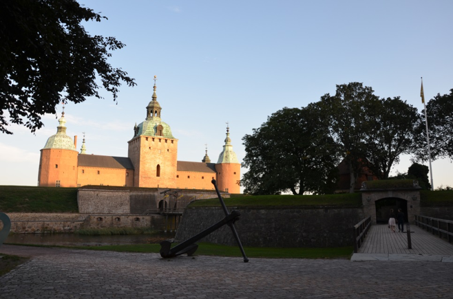
LOCATION Kalmar is a city situated in the southeast of Sweden by the Baltic Sea and belongs to Småland region full of meadows, dense forests and 5 000 lakes. The city has an international airport and good transport links by roads, rail and buses reaching others cities in Sweden. There is the Öland Bridge – […]

Continue Reading

IU295. RÜGEN ISLAND

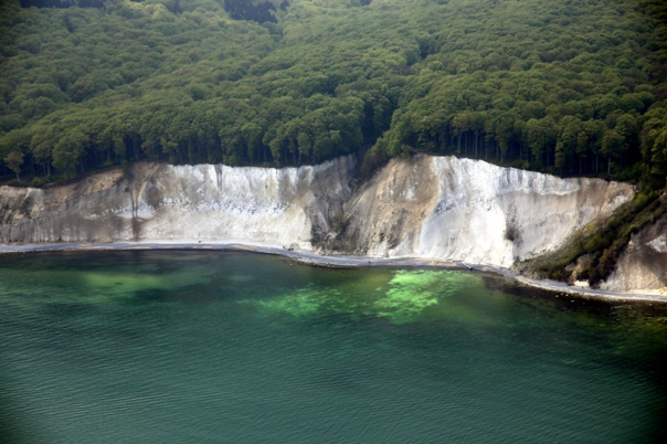
LOCATION Rügen island is Germany’s largest island by area, located off the Pomeranian coast in the Baltic Sea with its county seat in Stralsund, linked to the mainland by road and railway via the Rügen Bridge and Causeway.      The White Cliff, photo source: photo by Freddie Bijkerk. SCENIC CHARACTER Rügen island has a […]

Continue Reading

IU294. FREEST (FISHING VILLAGE)

LOCATION The small fishing village Freest is located in the north-east of Germany in Mecklenburg-Western Pomerania – on the Achterwasser, a part of the Baltic Sea.The village borders on the villages of Köselin in the south, Lubmin in the west and the Peene River in the east. Not far from the fishing village and in […]

Continue Reading