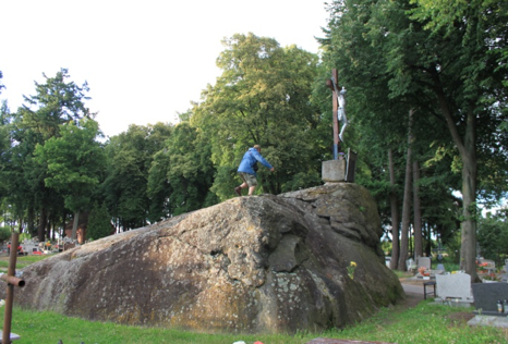
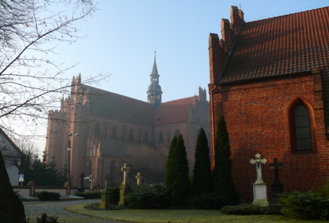
IU347. WOLIN ISLAND AND TRZEBIATÓW COAST

LOCATION Wolin Island and Trzebiatów Coast are separated by the Dziwna – one of three straits connecting Szczecin Lagoon with the Baltic Sea. This is the historical centre of former Western Pomerania, a place where the Pomeranian statehood and culture shaped, starting from Jomsborg factory founded by the Vikings in present day Wolin, to the […]

Continue Reading

IU346. CENTRAL POMERANIA

LOCATION It was in Kołobrzeg in 1000 that Prince Bolesław Chrobry and Emperor Otto III established a missionary bishopric to Christianise Pomerania. Pagan faith was so strong here that soon the bishopric declined and only in the mid-12thcentury did St Otto from Bamberg actually christened the Pomeranians. By the Reformation era, the area between Kołobrzeg […]

Continue Reading

IU345. KASHUBIA

LOCATION Kashubia, located in the western part of the Pomeranian Voivodeship, in the drainage area of the Łeba and Radunia Rivers, are the stronghold of traditional religiousness of one of the indigenous groups of Pomerania inhabitants. Wejherowo with a baroque Calvary and Sianowo with St Mary’s Sanctuary are the spiritual capitals of the region. Lębork […]

Continue Reading

IU344. BY THE LOWER VISTULA RIVER

LOCATION In the Middle Ages the Lower Vistula River used to separate already Christian Pomerania from the land of Pagan Prussia. The political intention to convert them into Christianity resulted in the establishment of the State of the Teutonic Order in this place in the 13th century. The Teutonic Knights implemented their Christianising mission on […]

Continue Reading

IU343. SAINT WARMIA

LOCATION The area adjacent to the Vistula Lagoon from the south is a part of Holy Warmia, a land which used to belong to the bishops of Warmia, and is nowadays referred to as Lower Powiśle, the territories managed from Elbląg which competed with Gdansk in time of the Republic of Poland. The area was […]

Continue Reading

IU342. SAMOGITIA HISTORICAL PERSPECTIVE

LOCATION The area of Telšiai is the heart of Samogitia. The land, abundant with lakes, forests and picturesque hills perfectly matches the image of an agricultural Lithuanian interior. Tiny villages, often with wooden buildings, sparsely populated, as well as vast spaces provide the feeling of freedom. It is the site of the Samogitian National Park […]

Continue Reading

IU341. ON THE CURONIAN LAND. THE HISTORY

LOCATION The Curonians, a Baltic tribe used to live between the Baltic Sea and the Samogitian Upland. It was in the Middle Ages that their land was divided between the Grand Duchy of Lithuania and the Livonian Brothers of the Sword replaced by the Protestant Duchy of Courland after the Reformation. Only their southern part […]

Continue Reading

IU340. LITTLE LITHUANIA SPIRITUAL DISCOVERY

LOCATION Lithuania Minor (Prussian Lithuania) is a south-western part of Lithuania, conquered by the Teutonic Knights to constitute a part of Prussia. Today divided between Kaliningrad Oblast and Lithuania. It is a well-developed area as far as tourism is concerned, with the unique Curonian Spit. Although Christianity has prevailed here for 600 years, the previous […]

Continue Reading

IU339. ON THE NIEMEN RIVER SPIRITUAL PERSPECTIVE

LOCATION The area stretching along the Niemen River had constituted the border between the Teutonic State and Prussia, and Lithuania for centuries. It is here that medieval crusades against pagan Balts focused, and that Catholic and Reformation communities, Calvinist and Lutheran ones, co-existed after the Reformation. Jews lived in many villages as well. There are […]

Continue Reading

IU318. GREIFSWALD HISTORICAL PERSPECTIVE

LOCATION Greifswald – a city in Mecklenburg-Western Pomerania, approx. 60 km from Barth, 37 km from Stralsund, 30 from Wolgast and 165 km from Szczecin. The city is located on the Ryck River near the estuary to the Baltic Sea. There is a marina here, so you can get here not only by car or […]

Continue Reading