LOCATION
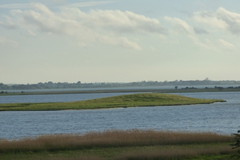
The area being described covers the southern end of Zealand as well as scenic MønIsland (with cretaceous shores on the east), tiny BogøIsland and Falster Island, popular with tourists, located on the eastern side of the Danish Straits. The flat, slightly undulating agricultural landscape enchants even in bad weather. Although medieval Christian monuments are predominant, Fanefjord neighbourhood and the unique Green Hunter’s Kurgan in Grondalen trigger reverie about the vicissitudes of history and melting of different religious traditions. We recommend small town Nykøbing Falster located at 54°46′0″N, 11°53′0″E, 20 km to the north of Gedser ferry settlement (connections from Rostock) as a starting point.


photo source: own photos
SIGHTSEEING
A dense network of asphalt roads enables direct access to each of the foregoing places. Distance not exceeding 40 km may encourage you to use a bike, although the network of cycle routes does not reach everywhere. Travelling from island to island we will be able to go down beautiful bridges. The aforementioned temples are usually open on weekdays between 10 am and 5 pm.
ATTRACTIONS
Harbour town of NykøbingFalster was founded around 1100. It was in the 15thcentury that Eric of Pomerania founded a Franciscan monastery (Klosterkirken) here. The Late Gothic temple with a Renaissance tower is connected with the partly preserved buildings of the former monastery (the present day care facility). Inside the church you can see Renaissance furnishings and the well-known ancestor table of the rulers of Mecklenburg. In Brarup located in the north of Felster Island there is a Late Romanesque parish church with beautiful 16thc. frescos and Renaissance furnishings. It is also the Church in Fanefjord on Mon Island, made of stone around 1300, which is famous for its medieval paintings. The 12thc. Gotland baptismal font and Renaissance utensils are especially worth attention. The church is situated on a small hill which offers a unique panorama of Fane Fjord. Allegedly, the name of the temple and the fiord derives from the name of the ruler who resided here. What was preserved in nearby Grondalen was a megalithic tomb dating back to the early Stone Age. It is a trapezoidal mound, the longest in Scandinavia, surrounded with 139 boulders. Its total length is 102 m, width 13 m and height 2 m. It is referred to as the Green Hunter’s Kurgan and, as the legend has it, it commemorates a local ruler. The town of Vordingborg was established in the early Middle Ages, from which the warriors of Valdemar II of Denmark used to set off to conquer and Christianise Estonia in the early 13thcentury. The person and crusades are related to the former castle – the present day permanent ruin with the Goose Tower (Gasetarnet). In the Middle Ages it used to house St Andrew’s Church, but now it is exhibited in the form of foundations reconstituted on the surface.
INFORMATION SOURCES
Heritage Class: [ C ]Cultural Heritage
Subclass [SR] :BLUE and GREEN believes and religions
WEB PAGES
https://www.fanefjordkirke.dk/
http://museumlollandfalster.dk/