LOCATION
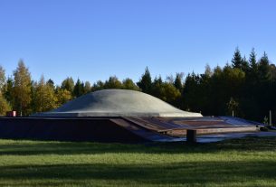
Imbarė hillfort is located in Salantas and Pilsupis rivers’ confluence. It’s one of the earliest and most beautiful Western Lithuania’s hillfort.
Coordinates: 56°01′34.2″, 21°33′21.2″. Address: Imbarė village, Kretinga district
photo source: https://lt.wikipedia.org/wiki/Vaizdas:Imbar%C4%97s_piliakalnis_nuo_Salant%C5%B3-Kretingos_kelio_2013.JPG.
ATTRACTIONS
People used to live here in the late Neolithic, and 1000 BC moved on top of the hillfort, where fortified settlement was established. In the 10th – 13th centuries Imbarė was a large Curonian castle, important administrative, economic and defence centre, where the duke of county used to reside. It used to compete against Apuolė castle in leadership of all Ceklis lands. People call this hillfort Pilala and tells legends of it.
INFORMATION SOURCES (links)
Heritage Class: [ C ] Cultural Heritage
Subclass [WH] : Waterfronts and traditional harbor areas
WEB PAGES