LOCATION
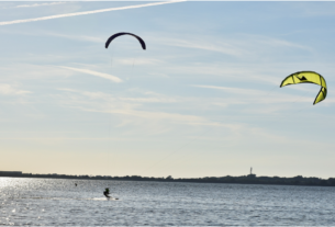
The Canal begins near Lankupiai, where it branches off river Minija, then goes northwest through Dreverna, reaches Klaipėda and joins with Malkų įlanka (Malku bay) near container terminal and „Vakarų laivų gamykla“ (west ship factory). There is a hydrogeological reserve.
Coordinates: 55.643077, 21.164476
Address: Kairių str. 13, Klaipėda, Lietuva / Lankupių str. 15, Lankupiai, Klaipėda district
ATTRACTIONS
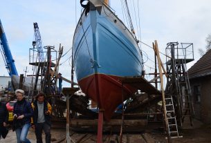
The canal was dug by French war prisoners’ hands in the 19th century, it directly joined the port of Klaipėda and river Minija (and though it – river Nemunas), thus bypassing the Curonian Lagoon, which is often windy and unfavourable for shipping wood.
The length of canal – 25-27 km, width 28-30 m, average depth – 1,7 m. The canal is named after a then German Kaiser Vilhelm I. When digging the canal, many French war prisoners died, therefore a monument was built for them on the river mouth.
INFORMATION SOURCES (links)
Heritage Class: [ C ] Cultural Heritage
Subclass [WH] : Waterfronts and traditional harbor areas
WEB PAGES:
https://www.klaipedosrajonas.lt/en/sightseeing-places/king-wilhelm-canal-and-lankupiai-lock/
www.klaipedosrajonas.lt/apgyvendinimas/?filterForm%5Bcategory%5D%5B24%5D=24
http://www.upese.lt/index.php/k-en/king-wilhelm-canal
http://wikimapia.org/37450796/King-Wilhelm-Canal