IU327. BROMÖLLA-IVÖSJÖN

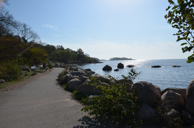
LOCATION Ivösjön is a lake in Bromölla municipality, Ivösjön is Skånes largest lake and the fishing area covers the entire lake. It has clean water and with a maximum depth of 52 meters Coordinators   WGS 84 – 56.10633°N 14.42449°E1.The beautiful lake – Ivösjön 1.The beautiful lake – Ivösjön, photo source:  SCENIC CHARACTER Ivösjön is a […]

Continue Reading

IU326. HANÖ-SÖLVESBORG

LOCATION Hanö is an island in Hanö Bay in Mjällby parish in Sölvesborg municipality in Blekinge County, located four kilometres southeast of Listerlands tip. Hanö has an area of 2.14 km² [2] and a maximum height of about 60 meters. 56° 0′ 37″ N, 14° 50′ 45″ E Sölvesborg is small town in Blekinge, its lay by the sea and have […]

Continue Reading

IU325. MÖRRUM – SWEDEN – BLEKINGE BIKING TRAIL

LOCATION Mörrum river is in Karlshamn in Blekinge, Sweden. 56°9′13″N 14°44′48″E 1. A beautiful hiking route, photo source:  SCENIC CHARACTER The salmon and trout fishing in Mörrum has long been among Sweden’s best-known and most popular. Mörrums river stream and Mörrum salmon fishing are renowned among anglers all over Europe. Those who are interested in […]

Continue Reading

IU322. HIKING ROUTE IN SKANA

LOCATION Hiking Route is the southernmost county of Sweden, basically corresponding to the traditional province Skåne. It borders the counties of Halland, Kronoberg and Blekinge and connects to Capital Region, Denmark by the Oresund Bridge. The seat of residence for the Skåne Governor is the city of Malmö. The headquarters of Skåne Regional Council is […]

Continue Reading

IU321. SODERASENS NATIONAL PARK

LOCATION Klippan and Svalöv Municipalities, Skåne County.  Söderåsen National Park is 40 kilometres east of Helsingborg in Skåne. photo source:  Söderåsen National Park was formed in 2001 and covers 1,625 hectares. The nature is varied, featuring lush deciduous forests, impressive talus slopes with high cliffs, flowing streams and panoramic views. The long, deep fissure valley […]

Continue Reading

IU310. LANDSKRONA HISTORICAL PERSPECTIVE

LOCATION Landskrona is located on the shore of the Öresund strait, approx. 50 km from Malmö and approx. 35 km from Helsingør. You can reach the city by car, by train or by boat. 55°52′13″N 12°49′49″E     The Castle in Landskrona, photo source: www.citadellet.com. SCENIC CHARACTER The city owes its origin to the King […]

Continue Reading

IU309. MALMO HISTORICAL PERSPECTIVE

LOCATION A city in southern Sweden, situated on the Skåne peninsula on the picturesque bank of the Oresund strait. After the construction of the bridge-tunnel crossing (Most Öresund) with Copenhagen in 2000, it is considered the so-called “the gate to Sweden”.  The city can be reached by car, train or yacht. 55°37’15.2″N 13°00’11.1″E     […]

Continue Reading

IU308. KALMAR HITORICAL PERSPECTIVE

LOCATION Kalmar is located in south-east Sweden, in the Kalmar Strait (Kalmarsund), opposite the island of Öland, located on the Baltic Sea. Kalmar is connected to the island one of the longest bridges in Europe. On the outskirts of the city is an airport, and in the city is a marina. So you can get […]

Continue Reading

IU299. SÖLVESBORG BAY

LOCATION Sölvesborg is a municipality in Blekinge County in southern Sweden, and it borders to Bromölla, Olofström and Karlshamn municipalities. The city has good transport links by railroad and motorway connecting with other cities in Sweden.       photo source:  SCENIC CHARACTER Sölvesborg (A) is a charming medieval city, proud of fantastic white sandy […]

Continue Reading

IU298. KARLSHAMN

LOCATION The city of southeastern Sweden, in the province of Blekinge, Karlshamn is located on the shores of the Baltic Sea and on the Mieon River. Karlshamn has national road 29 which connects the port to the province Småland in the north. There are trains every hour to the towns of the region and has […]

Continue Reading